Professional Services
GIS Services in Toronto
Spatial intelligence for real estate development, municipal planning, and infrastructure projects across the Greater Toronto Area.
GIS Services for the Greater Toronto Area
Toronto is one of the fastest-growing metropolitan regions in North America. With rapid development across the GTA, accurate spatial data and geographic analysis are essential for real estate developers, municipalities, and engineering firms making high-stakes decisions about land use, infrastructure, and growth.
Redeveo provides professional GIS services to organizations across Toronto, Mississauga, Vaughan, Markham, Richmond Hill, North York, Etobicoke, and Scarborough. Our team combines GIS expertise with deep industry knowledge in real estate development and municipal planning, delivering spatial intelligence that supports better decision-making.
We support both ArcGIS and QGIS platforms, offering everything from custom map design and spatial analysis to data digitization, geospatial database management, and interactive web maps. Whether you need a single map for a planning submission or an ongoing GIS support partnership, we provide the precision and analytical rigor your projects demand.
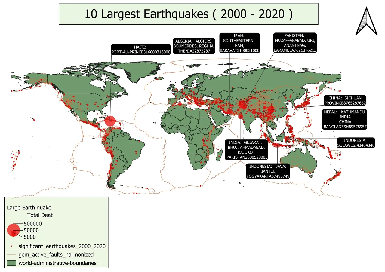
GIS Services for Toronto Projects
Custom Map Design for Toronto Development Applications
Thematic, topographic, and cadastral maps for planning submissions, council presentations, and community meetings. We create clear, professional cartographic outputs that communicate spatial information effectively to planners, stakeholders, and the public across the GTA.
Spatial Analysis for Real Estate Feasibility
Zoning overlays, proximity analysis, buffer analysis, and suitability modeling for development sites across Toronto and the GTA. These analyses help developers understand what can be built where, and identify constraints and opportunities before committing to a site.
Data Digitization for Municipal GIS
Converting paper maps, legacy data, and field data into digital geospatial formats for Toronto-area municipalities and organizations. This includes georeferencing raster images, feature extraction from scanned documents, and attribute data integration.
Geospatial Database Management
Creation and management of geospatial database systems using PostGIS or GDB for organizations across the GTA. We handle attribute data integration, editing, validation, metadata documentation, and data quality control to ensure robust, reliable spatial data infrastructure.
Interactive Web Maps
Interactive web maps built using ArcGIS Online and QGIS2Web for stakeholder engagement, public consultation, and project communication. These maps allow non-technical users to explore spatial data, view development plans, and understand project context intuitively.
Land Use and Change Detection
Land use and land cover change detection leveraging spatial intelligence to enhance understanding of geographic transformations across the GTA. This supports municipal planning, environmental assessment, and development impact analysis.
Who We Serve in Toronto
Real Estate Developers
Site selection, feasibility analysis, zoning research, development constraints mapping, and custom maps for investor presentations and community meetings.
Municipalities & Regional Governments
GIS support for planning departments, development application review, asset management, growth mapping, and public engagement through interactive web maps.
Architecture & Engineering Firms
Spatial data integration for infrastructure projects, site context mapping, terrain analysis, and geospatial data management for project coordination.
Planning Organizations
Data-driven mapping for policy development, land use planning, demographic analysis, and decision-making support across the Greater Toronto Area.
Why Choose Redeveo for GIS in Toronto
Redeveo brings a unique combination of GIS expertise and real estate development knowledge to every project. Our team understands the challenges faced by Toronto developers, municipalities, and engineering firms — from navigating complex zoning by-laws to managing spatial data for large-scale infrastructure projects.
Our integrated approach sets us apart. We combine GIS services with architectural visualization and Web3 development capabilities, offering a holistic technology partnership that no standalone GIS consultancy can match. When you choose Redeveo, you gain a strategic partner invested in your success across the full development lifecycle.
Related GIS Resources
Frequently Asked Questions
What GIS services does Redeveo provide in Toronto?
Redeveo provides custom map design, spatial analysis, data digitization, geospatial database management, interactive web maps, and land use change detection for clients across Toronto and the Greater Toronto Area.
Does Redeveo serve the entire Greater Toronto Area?
Yes. Redeveo serves clients across the GTA, including Toronto, Mississauga, Vaughan, Markham, Richmond Hill, North York, Etobicoke, and Scarborough, as well as clients across Canada and the United States.
What GIS platforms does Redeveo support?
Redeveo supports both ArcGIS (including ArcGIS Online and ArcGIS Pro) and QGIS platforms, offering interactive web maps, cartographic design, and geospatial database management using PostGIS and GDB systems.
Can Redeveo help with municipal GIS projects in Toronto?
Yes. Redeveo provides contract GIS support for municipalities, including mapping updates, spatial data cleanup, data digitization, interactive web maps for public engagement, and geospatial database management.
How does GIS support real estate development in Toronto?
GIS supports real estate development through site suitability analysis, zoning overlays, proximity and buffer analysis, development constraints mapping, terrain analysis, and interactive mapping for stakeholder communication and decision-making.